
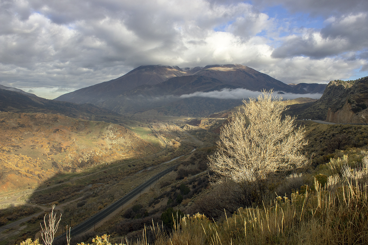
Train tracks lead up the canyon to Soldier Summit alongside our road for several hours.
Today’s theme will be beautiful scenery, odd formations and trains as Dad and I traveled from Pleasant Grove, Utah to Monticello, Utah, by way of Helper, Utah and Moab, Utah.
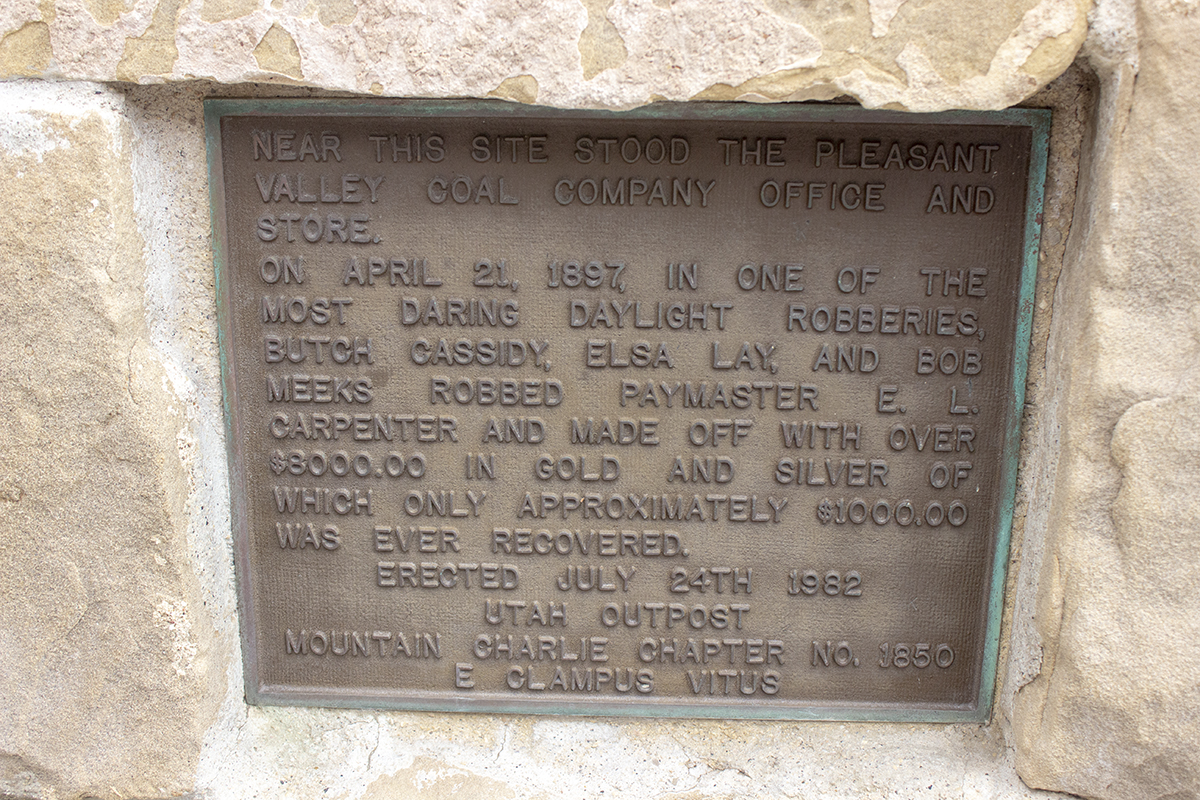
Wow! $8,000 back then was a lot of money. What did they spend it on?
Along the way we also learned about a robbery by Butch Cassidy, coal mine disasters and potash evaporation ponds. Intriguing, eh?
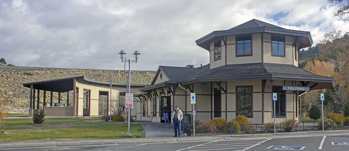
My Dad, Jim Eades, stands in front of the restroom building at a rest stop along Highway 6 on the road south and up towards Soldier Summit. The building was designed to look like a train depot – a narrow gauge train.
The rest stop on Highway 6 was right up my alley – a railroad theme.
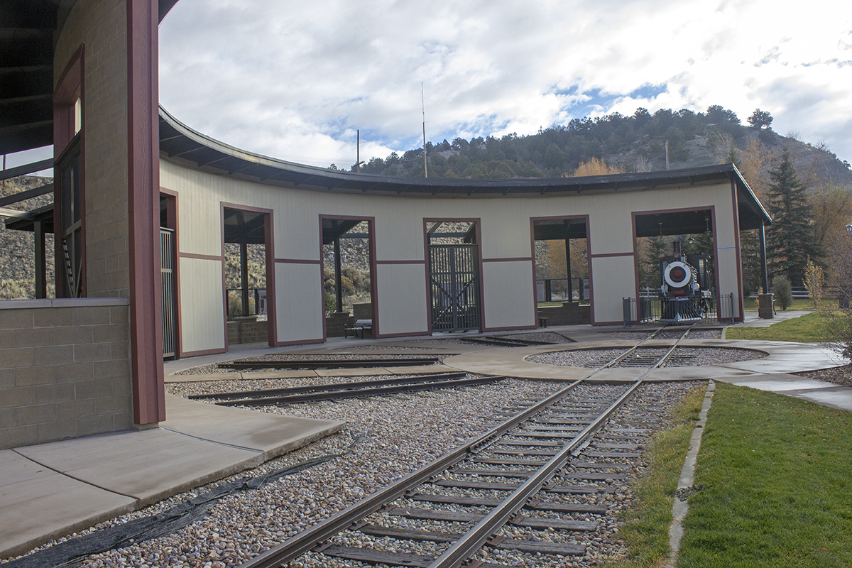
The rest stop even has a mocked up narrow-gauge roundhouse.
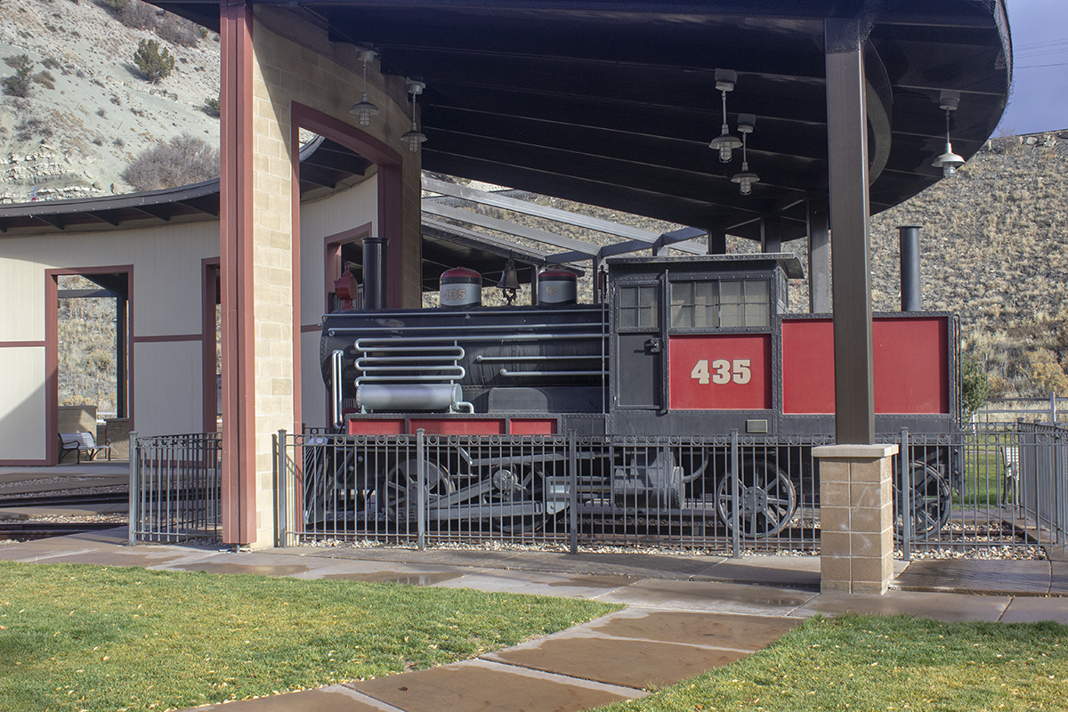
The steam engine in the roundhouse is a mock-up, but the folks did a nice job.
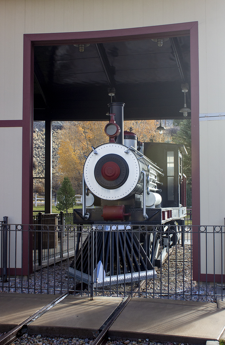
The front of the engine looks cool, though it’s missing the engine number on the front. Details, details.
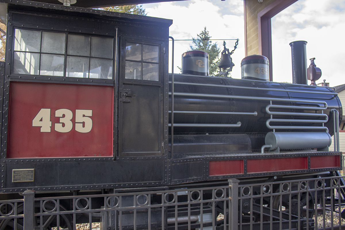
But even though it’s fake, it’s still cool.
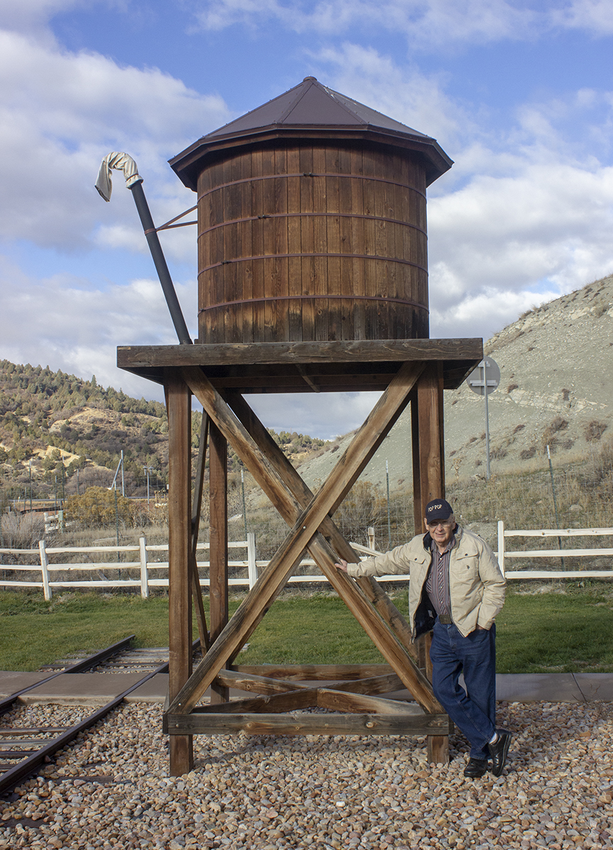
The theming extends to the mock water tower.
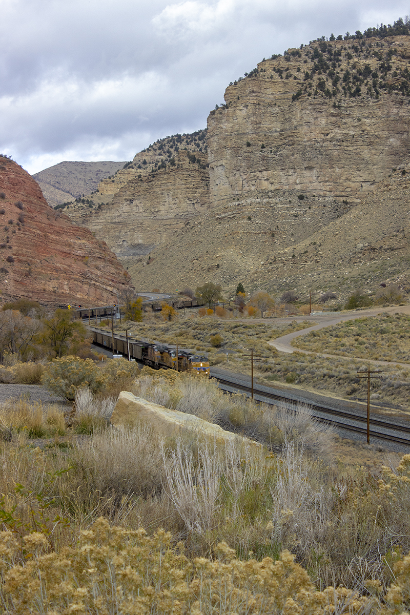
Further up the canyon we stopped to watch a Union Pacific freight train made up of mostly empty coal cars working its way up the canyon. By the way, this is close to where Butch Cassidy and the others staged that robbery.

This is downtown Helper, Utah. It looks like a themed entertainment location as they’ve kept up the buildings. But most of the businesses are closed. Investment opportunity?
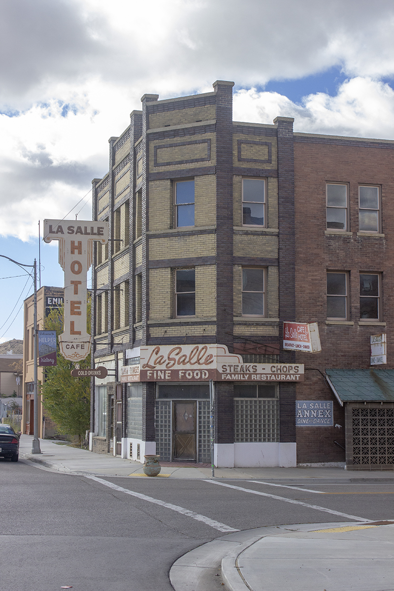
Too bad this hotel and the dance hall and other businesses in this building are closed in Helper, Utah.
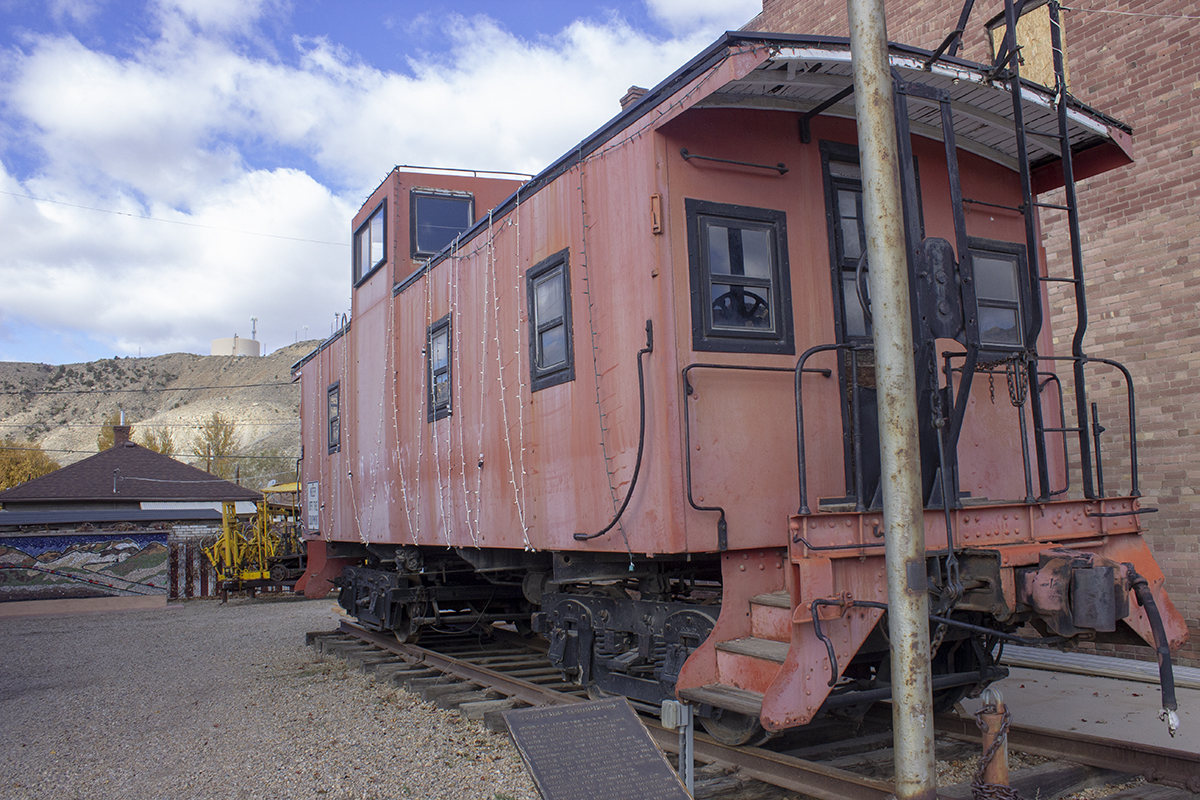
Okay, so there’s a retired caboose on display in Helper, Utah. Of course I had to take a picture.
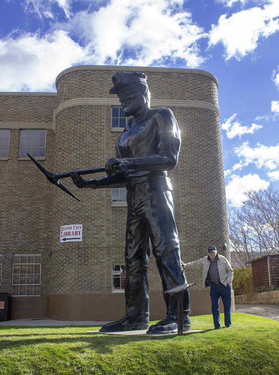
The world’s tallest coal miner stands in front of the Helper, Utah Public Library.
These red cliffs are seen from the road on the way to Dead Horse Point near Moab, Utah.
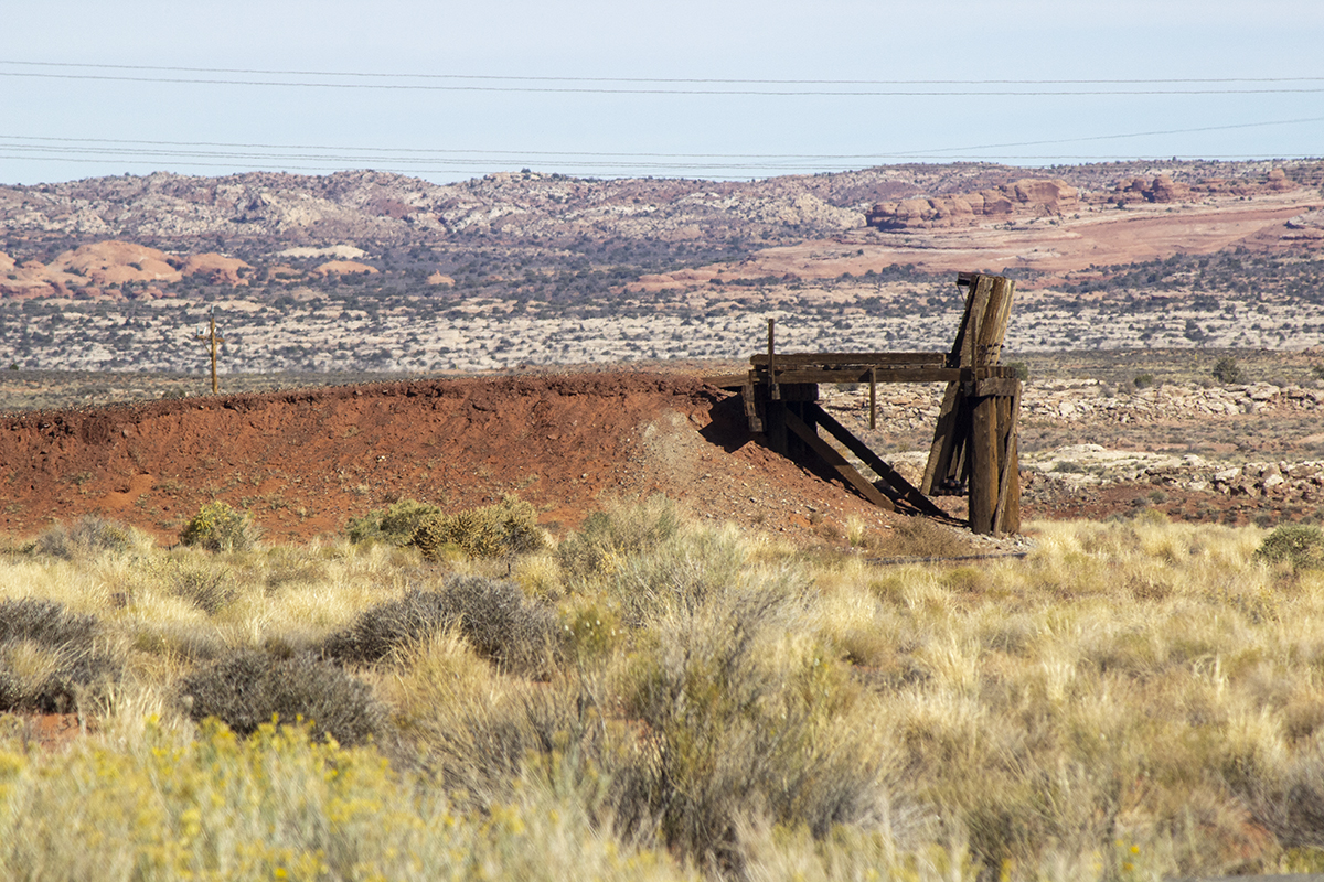
Neither Dad nor I could figure out what this was – but I took a picture anyway.
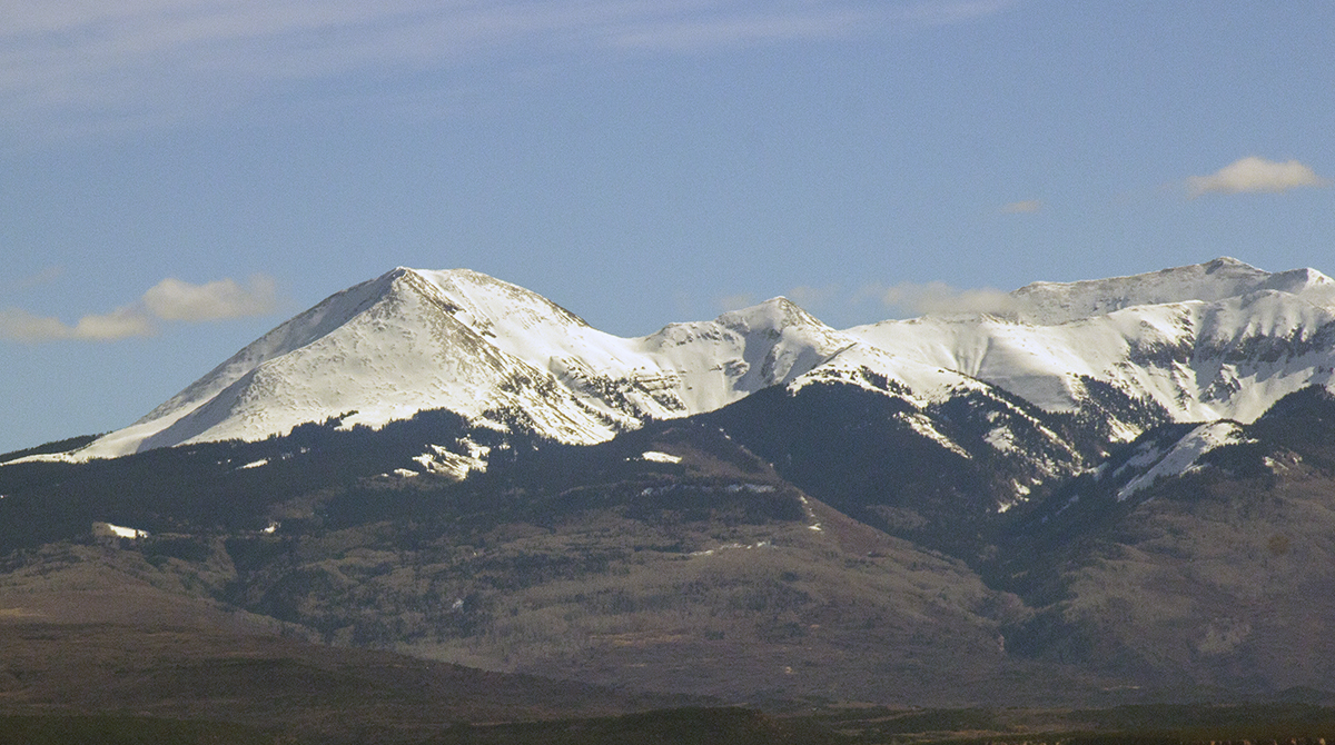
There be snow in them thar Rocky Mountains, as seen from the road to Dead Horse Point near Moab, Utah.
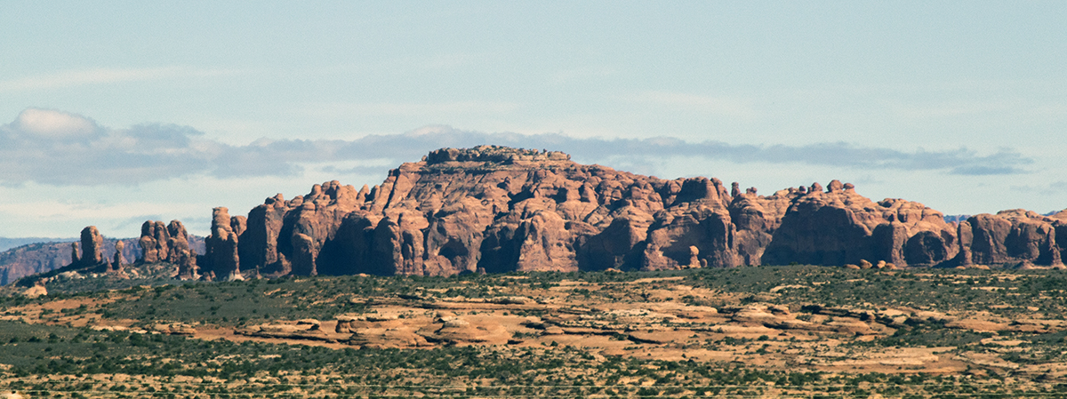
Those rocks are in Arches National Park, as seen from the road to Dead Horse Point near Moab, Utah.
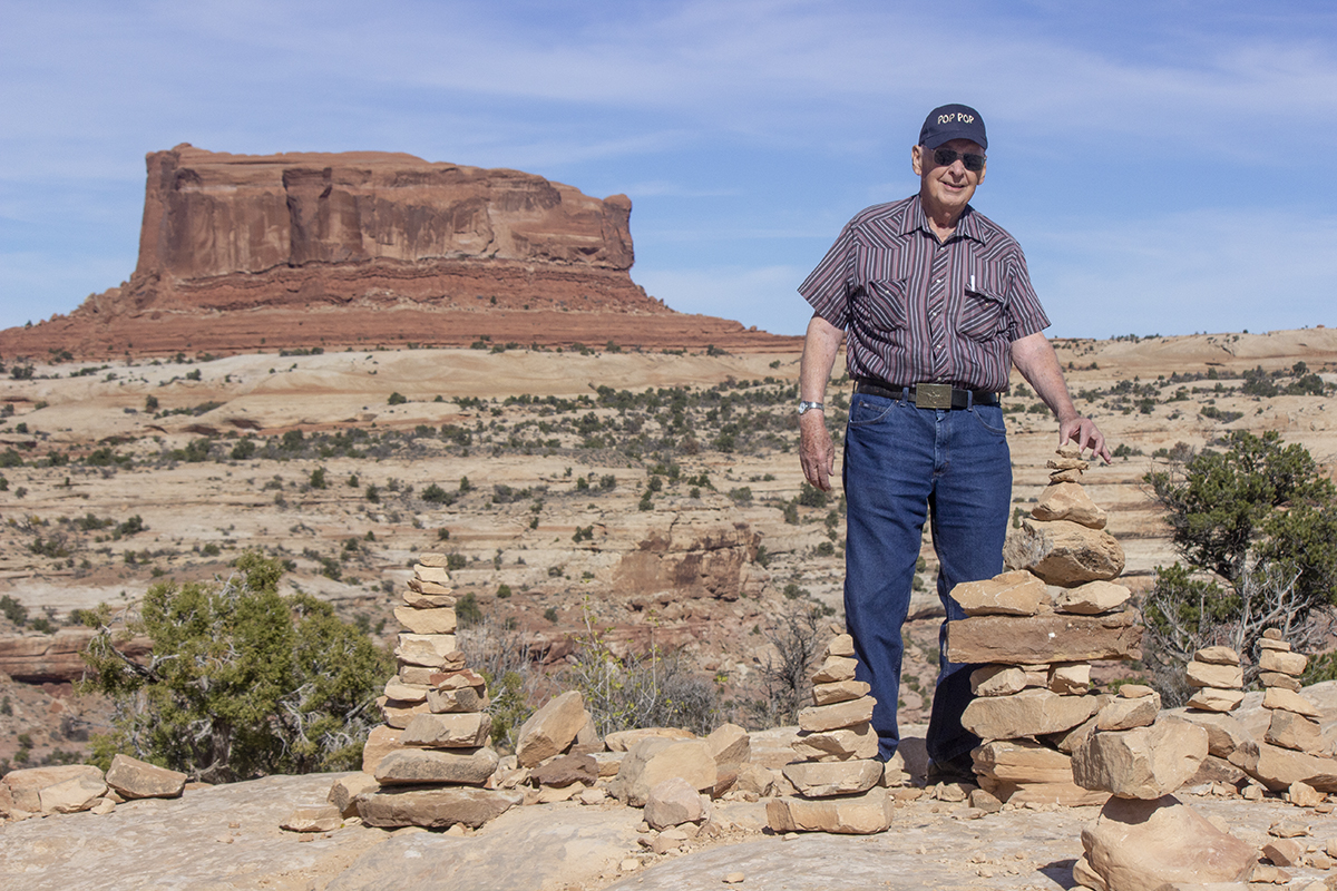
My Dad adds to the small balanced rock statues others have made, the big rock behind him is named the “Merrimac” after the ship, also seen on the road to Dead Horse Point near Moab, Utah.
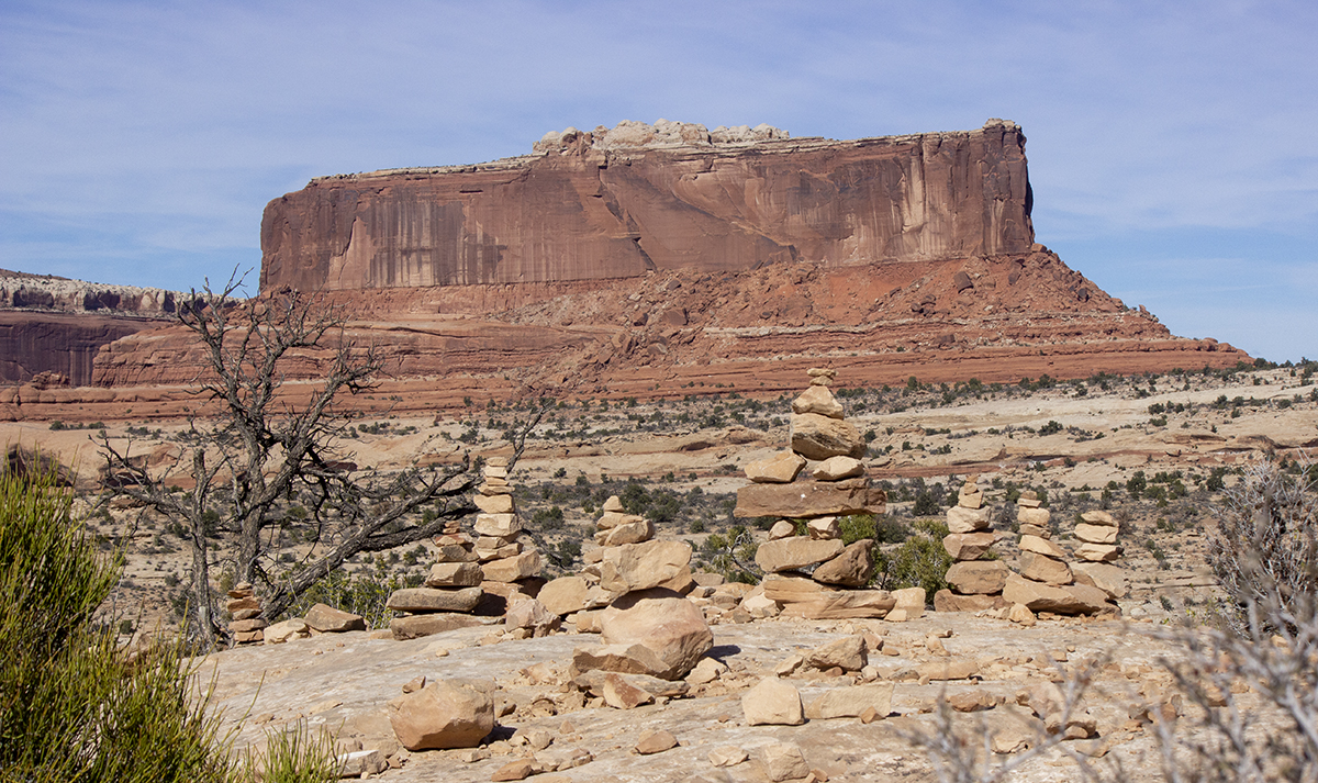
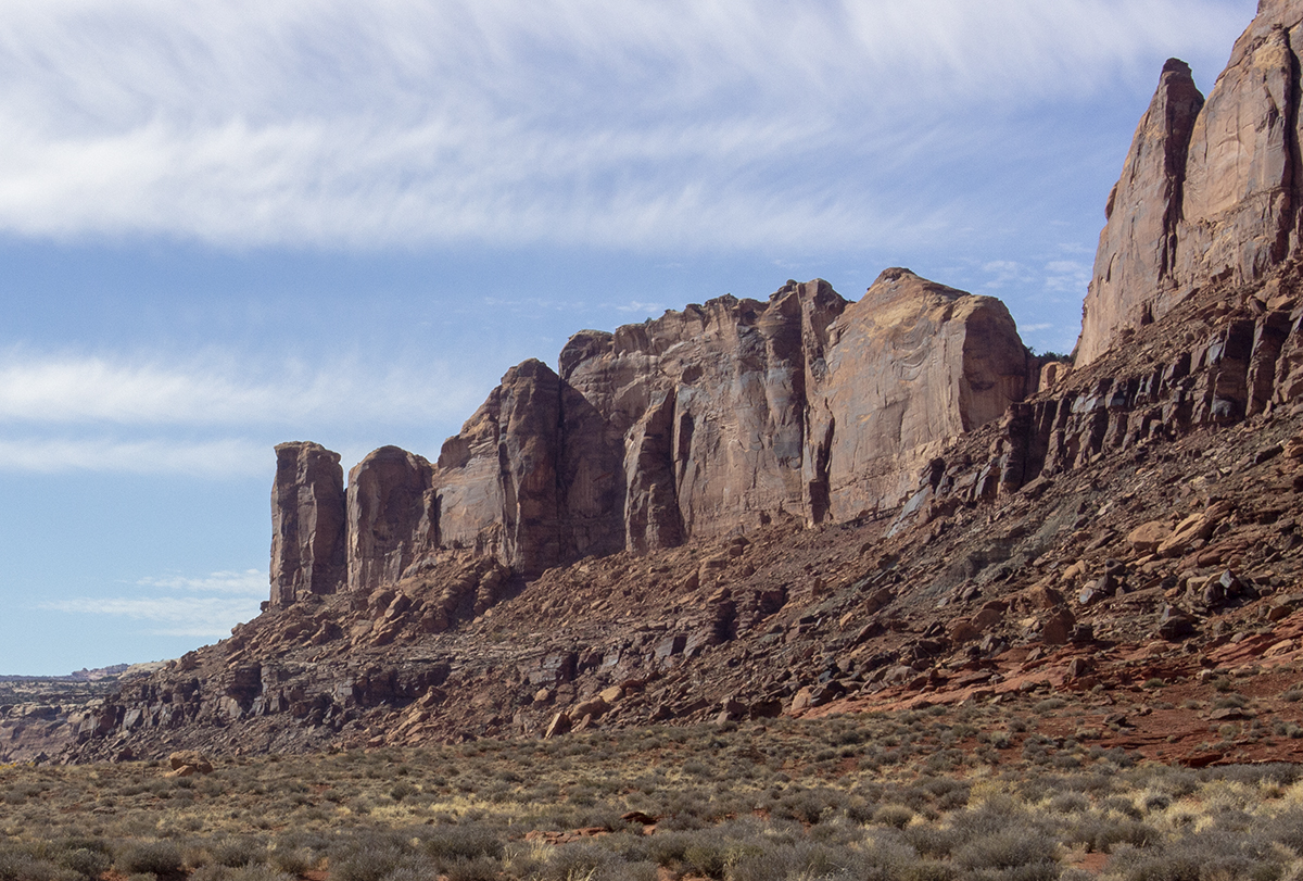
This rock is named the “Monitor” and is also seen on the road to Dead Horse Point near Moab, Utah.
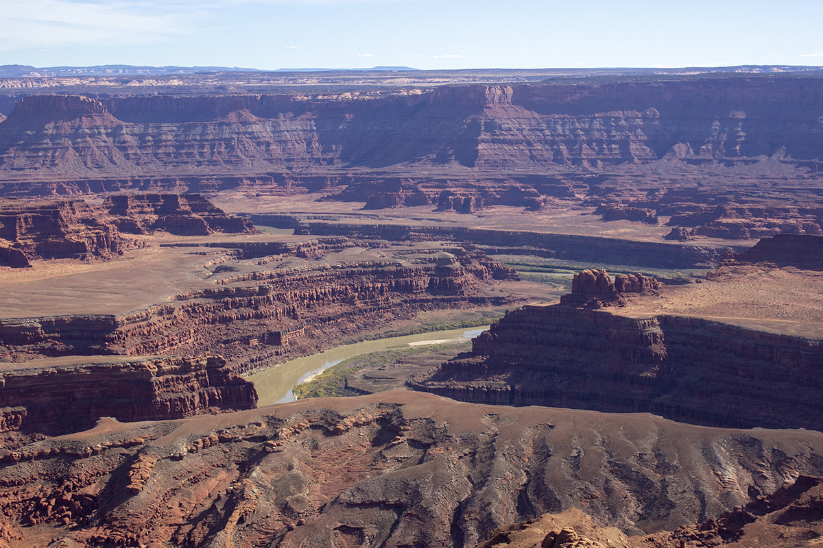
Okay, now we’re at Dead Horse Point and that is the Colorado River as it heads on into the Canyonlands National Park.
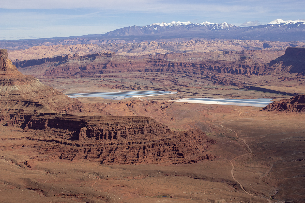
Those are evaporation ponds where water is mixed with stuff dug up – and when the water evaporates they’re left with Potash.
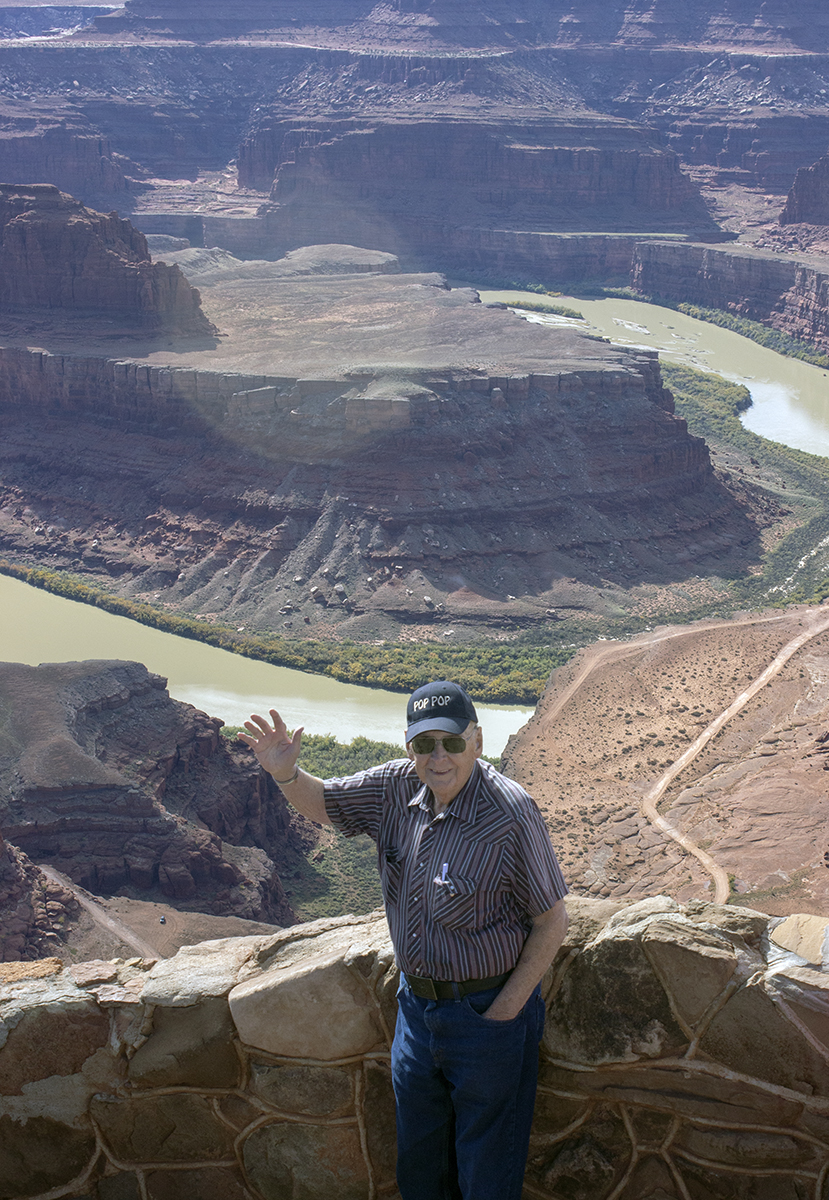
My Dad stands at the overlook of Dead Horse Point, the Colorado River makes a 180-degree turn as it continues on down into Canyonlands National Park.
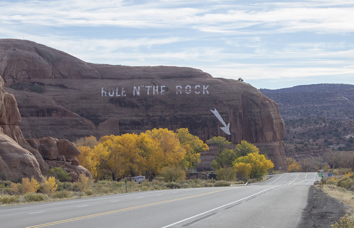
Pretty self explanatory. On the other side is the tourist trap. This is south of Moab, Utah, on the road to Monticello, Utah.
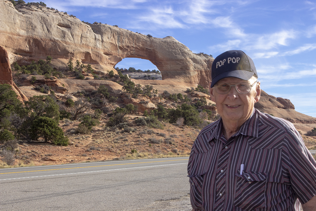
I’ve saved the best for last. The arch behind my Dad is Wilson Arch. It is on the road to Monticello, Utah – south of Moab, Utah.
4 comments
Your vacation photos showcase the beauty of Utah.
Love “Pop pop” on the cap
Great photos mark. now we know who stacked all those rocks. btw this is the part of the country where my mom was born and lived until she was 8.
I am really enjoying YOUr vacation vicariously! Thanks for sharing! I love the scenery in Utah!
Terrific images, Mark! Such a beautiful part of our country.
Comments are closed.